
ROUTE 118
Route 118 is a route that can only be travelled over by surfing (actually swimming, or sailing. This is Minecraft) over the water. But once you have swum or sailed over the water from Mauville City (west) you can either head east onto Route 123 and visit the Berry Master's House or head north onto Route 119 and head to Fortree City via the Weather Institute.

(Image sourced from Bulbapedia)
But before we do any travelling we must first build a route to travel on. Route 118 is 40 blocks wide and 160 blocks long.

Unique to this Route is the river that runs right through it. In the Gameboy game this river prevents the player from progressing until they have obtained the badge that lets them use SURF outside of battle.

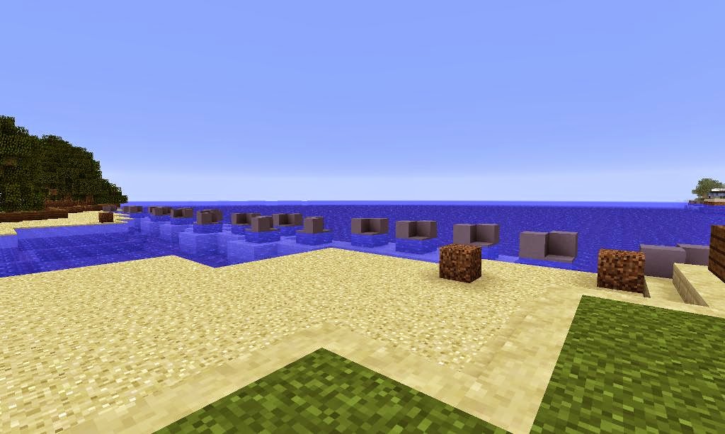
There is a sandy shore on both sides of the river. On the western side the sandy shore is right at sea level. The land it joins to is 1 block above sea level. Sandstone stairs are needed to address the differences in levels because they blend in with the look of the sand. And it eliminates the need for the player to jump.

And now the western side. The western side is a little bit longer and provides the link to Route 123 (east) and Route 119 (north). But on this side all the land is at sea level. This is to correct the altitude mistake on the western side. It was one block high when I built Slateport City which was the first location to be built on the western side before is was joined up to the other western side (Twinleaf town, Petalburg city, etc).

The only geographical features worth noting are the hills to the north, the ledges in the middle and the forest to the south.

Once the tree's have grown, the land section of Route 118 is finished.

And now onto the water section. Only sand and light blue clay rocks prevent the player from travelling upstream or out into the ocean. When the whole project is complete you can go up stream if you wish because the rocks don't do much blocking.

And that's all there is to it. Route 118 is finished.

FINISHED PRODUCT
Leaving Mauville City heading onto Route 118.

A view across the ocean.
Looking back at Mauville City.


Heading onto Route 118 from Route 119.

A look towards Mauville City from the opposite side of the river.


ROUTE 123
Route 123 is 280 blocks long. It is the one of the longest east-west routes in Hoenn and is the longest east-west land route in Hoenn. Route 123 is a one way only route. You can only travel the entire route if you start on the eastern side entering from Mt Pyre. Along Route 123 is the Berry Masters house where the player in the Gameboy game can obtain berry's from the Berry Master's partner or nick some from the garden.

(Image sourced from Bulbapedia)
The expanse of land was so large that when I used MCEdit to make the slab of land the chunks at the other end weren't yet generated. I had to go back into Minecraft, fly out to sea and back to generate the chunks.

After the chunks were generated I could lay the land. As mentioned before it measures 280 blocks long east-west. It is too long to be rendered at the maximum render distance of 16 chunks. (I'm using 32-bit java on a 32-bit operating system and 16 chunks is the maximum.)

Starting from the eastern end I had to carve out the bay that will eventually house Mt.Pyre in a few 'parts' time (part 25).

Hoenn looks so unfinished and from where I was standing, so remote in this screenshot. Like a new housing estate that has just streets but no houses.


The Berry Masters house is right at the start of Route 123 on the western side. It is not made inaccessible by the one way nature of this route.

There are 6 patches of soil where Berry's can be grown.

And the Berry Masters house and garden is finished.

And now for the rest of Route 123. The rest consists of spruce wood stairs acting as ledges, some rocks, paths and tall grass.

Adding paths.

Adding tall grass.

Adding more tall grass.

The spruce wood stairs act as the ledges. Spruce wood is the closest matching colour of stairs to dirt as seen in the Gameboy game. Plus the stairs provide one way access unless you jump over them.

Adding trees.

Waiting for the trees to grow.

And now they have all grown.

FINISHED PRODUCT
Looking towards the eastern side of Route 123.

The Berry Masters House.

A ground level view of the ledges that block progress heading east.

Small area on the far eastern side where the player on Pokemon Ruby can battle a trainer and find a rare candy.

The view towards what will be Mt Pyre.

A sunset over Route 123.


Stay tuned and subscribe.
PS: Check this project out on Planet Minecraft.
If you have any tips for improvement please don't hesitate to share. It would be greatly appreciated. Next: Part 22 features Route 119.
After That: Part 23 features Fortree City and Route 120.
No comments:
Post a Comment